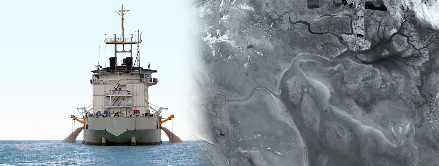

Musa Creek, located at the northwestern end of the Persian Gulf sedimentary basin, is currently the largest and longest sea inlet extending into the land along the country’s coastline. The area consists of a complex system of marine, transitional, and occasionally terrestrial environments where sedimentation is influenced by riverine, wind, tidal, and biological processes.
The project area lies at the northwestern head of the Persian Gulf along the southern coast of Khuzestan Province, between the Arvand River Delta in the west, the Zohreh River in the east, and Imam Khomeini Port in the north.
Hydrodynamic and Morphological Characteristics:
- Strong marine currents along the access channel, up to 1 m/s
- Presence of shallow natural channels around the project area
- Significant wave height along the access channel up to 3 m
Dredging Operation Specifications:
- Dredging Area: Between beacons 9–14 and 23–30
- Channel Width: 300 m
- Channel Depth: 13.5 m relative to chart datum
- Channel Length: 14 nautical miles (about 26 km)
- Seabed Type: Fine soft sediments with some hard layers
Required Equipment:
Both hopper suction dredgers and cutter suction dredgers
Disposal Area:
Offshore disposal at designated locations according to tidal conditions
Total Dredging Volume: 3,400,000 m³
Soft seabed: 2,000,000 m³
Hard seabed: 1,400,000 m³